Our Services.
-

2D & 3D Orthomosaic Mapping
High-resolution, georeferenced maps and 3D models for land analysis, and site planning. Capture accurate data for construction, agriculture, and development projects with centimeter-level precision.
-
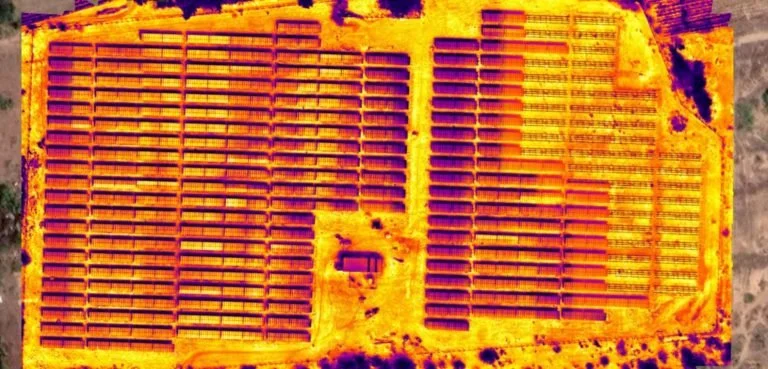
Thermal Imagery & Inspection
Utilizing advanced infrared sensors, we detect heat loss, electrical faults, and equipment inefficiencies invisible to the human eye. Perfect for roof inspections, solar arrays, utilities, and industrial diagnostics.
-
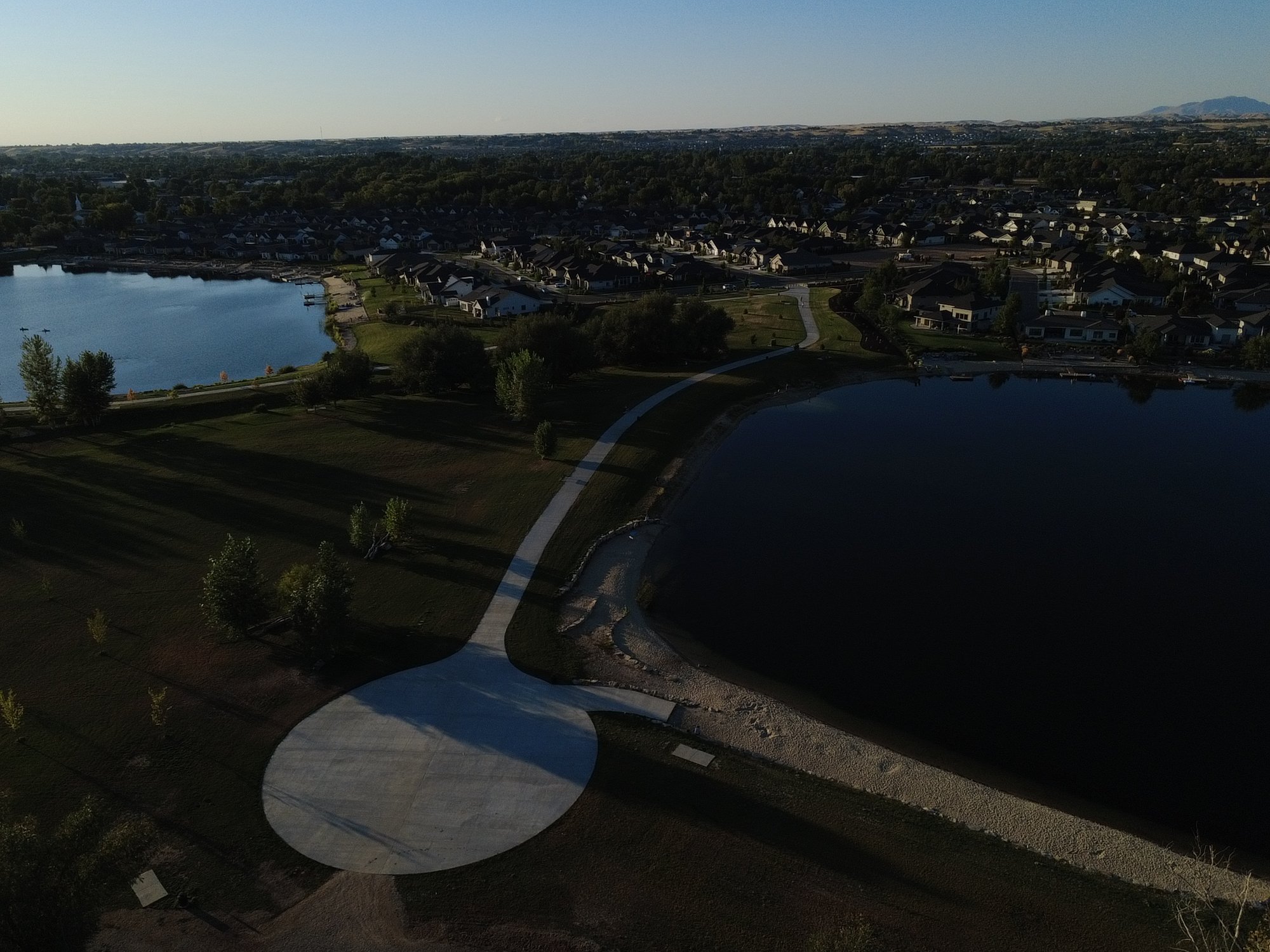
Aerial Photography & Marketing
Showcase properties, developments, and landscapes with professional 4K drone photos and videos. Ideal for real estate, builders, and land developers looking to stand out in the Treasure Valley market.