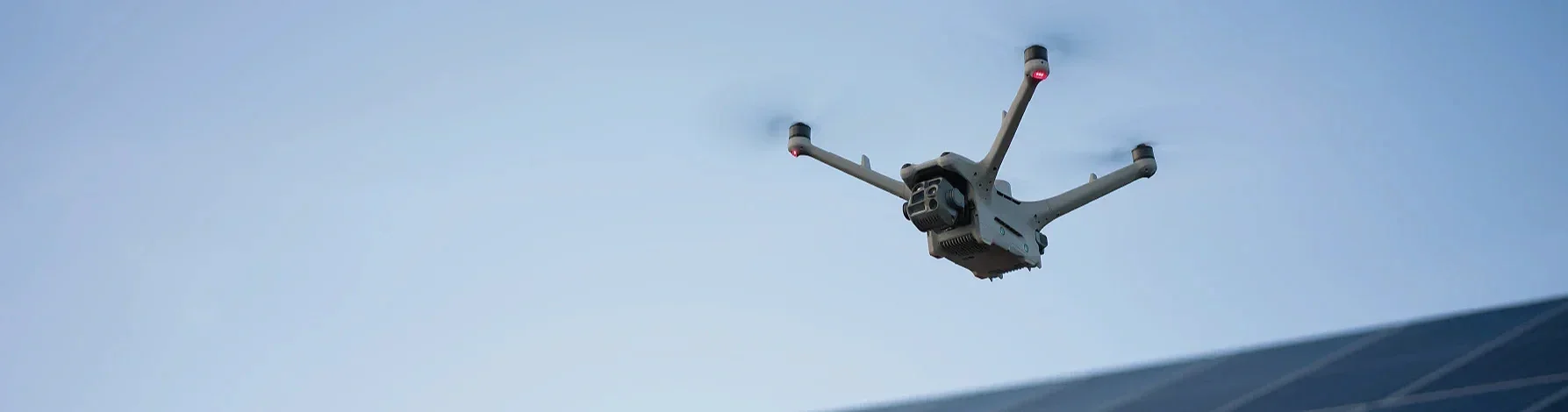
Elevate Your World with Cutting-Edge UAV Technology
Our Services
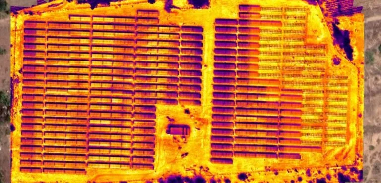
Thermal Imaging & Inspection
See what the eye can’t.
Thermal Drone Inspections use advanced infrared sensors to detect heat signatures invisible to standard cameras — revealing energy loss, electrical faults, moisture intrusion, and equipment malfunctions before they become costly issues. Get accurate, data-rich thermal imagery from the air for smarter, faster decision-making.
Key Benefits
Early problem detection without downtime or manual access
Safe, non-invasive inspections of roofs, solar panels, and utilities
High-resolution thermal data for detailed reporting and analysis
Dual-sensor imaging (thermal + visual) for complete diagnostics
Cost-effective coverage of large areas in minimal time
Ideal For
Solar Farms • Roof & Building Diagnostics • Agriculture • Power & Utility Lines • Search & Rescue • Industrial Equipment

2D & 3D Mapping
Capture every detail — from the ground up.
Drone Orthomosaic Mapping delivers high-resolution, georeferenced imagery stitched together to create precise 2D maps and 3D surface models of your site. Whether you’re managing farmland, construction progress, or property development, our maps provide accurate measurements, visual clarity, and real-world data you can trust.
Key Benefits
Survey-grade accuracy for boundaries, volumes, and topography
2D orthomosaic maps ideal for inspection, planning, and documentation
3D surface models for elevation, contours, and structural visualization
Actionable data exportable to GIS, CAD, and digital platforms
Fast turnaround times (typically within 24–48 hours)
Ideal For
Agriculture • Construction • Real Estate • Land Development • Infrastructure Inspection • Environmental Surveying
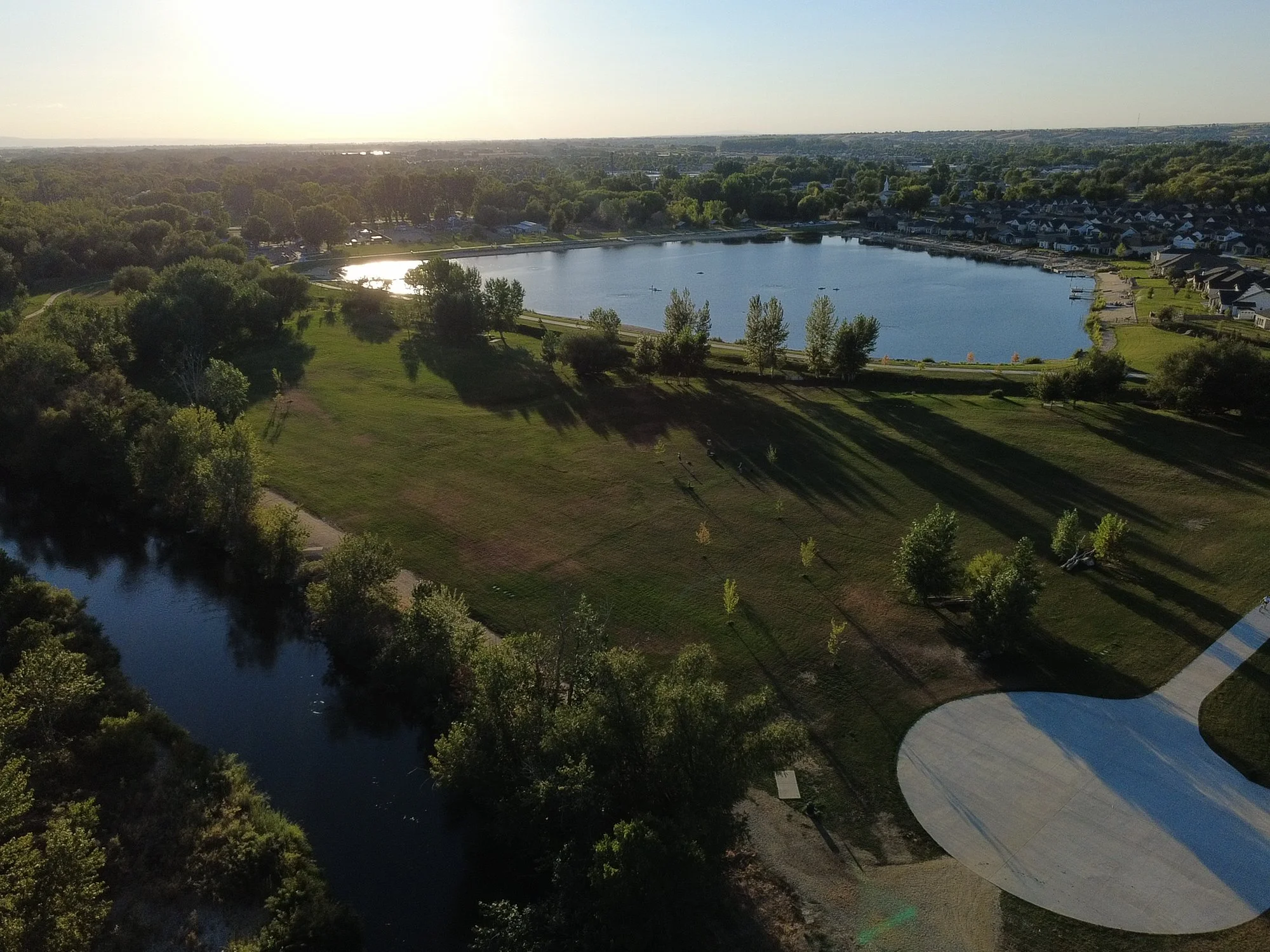
Aerial Photography & Marketing
Showcase your property from a higher perspective.
Our Aerial Marketing Services deliver cinematic drone photos and videos that highlight the true scale, layout, and beauty of your land, property, or listings. Perfect for real estate agents, land developers, construction firms, and commercial properties, our aerial visuals create an unforgettable first impression and boost engagement across online platforms.
Key Benefits
Stunning 4K aerial imagery showcasing property scale and features
Clear visualization of acreage, location, and nearby surroundings
Eye-catching visuals that convert views into offers
Optional mapping or 3D model integration for enhanced presentations
Ideal For
Real Estate • Land Developers • Construction Progress • HOA Communities • Golf Courses • Resorts
About
our company
At StratosDronesCo, We specialize in delivering high-quality drone services tailored for construction, energy, and real estate. Our advanced technology enables efficient data collection, ensuring accuracy that helps you make informed decisions every step of the way.
Nicholas is the Owner and Core Operator & Pilot — my goal is to provide amazing results and service for my local + surrounding communities.

Contact Us
Interested in working together? Fill out some info and we will be in touch shortly. We can’t wait to hear from you!